Gather the macro climate pattern from satellite data
on the historical climate disaster events.
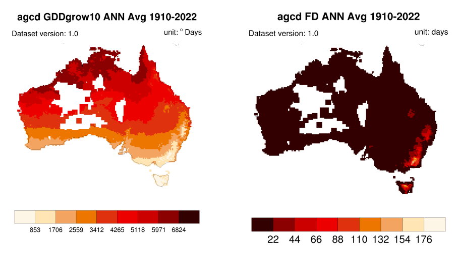
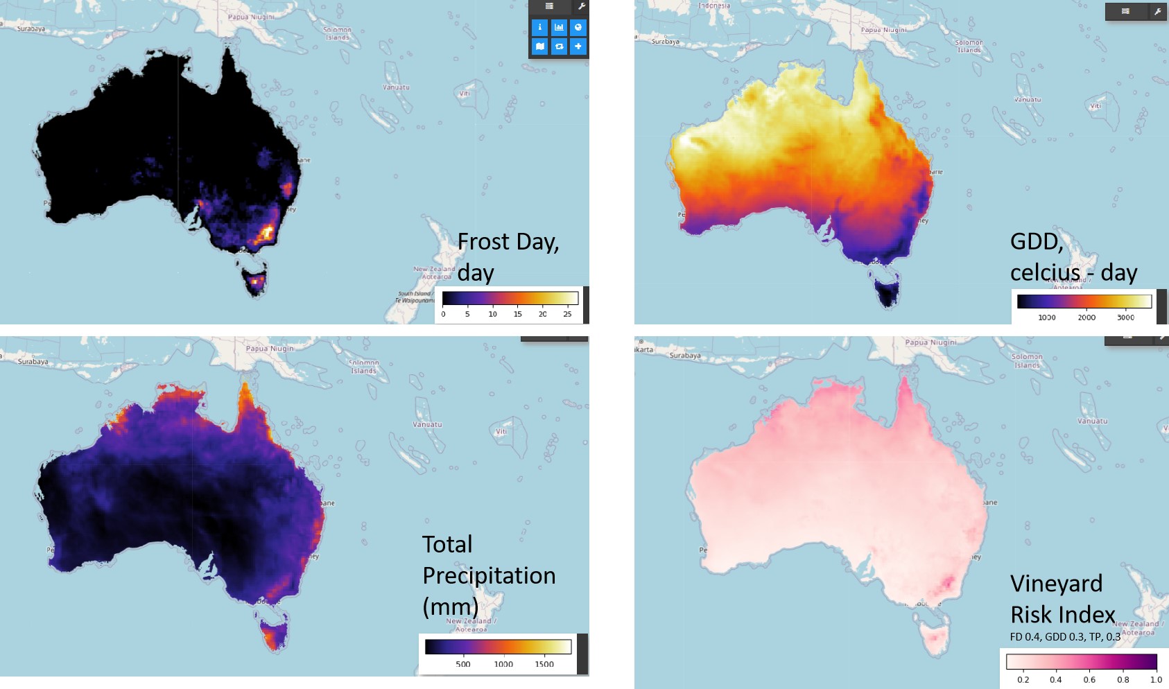
Build the macro digital terroir
model of the vineyard.
Designed for the adoption of agriculture data analytics and parametric insurance
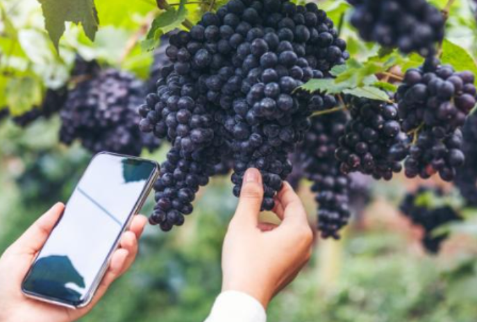
using the concept of digital terroir and precision viticulture
Build the macro digital terroir
model of the vineyard.
The model could co-relate both macro and micro parameters.
That way, you can grow smart and make early countermeasures to save cost and improve yield and quality.
We envision next generation of agriculturist to be resilient against climate disaster.
We believe the now is the best time for digital transformation of agriculture leveraging smart devices, AI and Satellite Data.
We use any participating satellite that works for the greater good.
We use the most effective type of data to achieve the target as well as any other type of data for more insights.
We do not claimed to be fastest or cheapest but at cost performance optimal.
We support open source as much as we are benefited from.
While we make data accessible at lowest cost to general users, we make money from professional services to support the course.
We want to make our application easy to use and does not require heavy downloads by using optimizing resource at server side.
We aim to provide a data avenue for insurance industry to take predictive underwriting for low cost, better coverage of insurance.
Contact us at info@zharfire.space for opportunities to start a project with us! We are happy to learn from you too!